


PRECINCT DAYTON 3-K, Montgomery County, Ohio
About
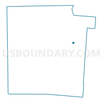
Outline

Summary
| Unique Area Identifier | 650386 |
| Name | PRECINCT DAYTON 3-K |
| County | Montgomery County |
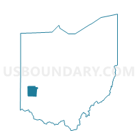
| State | Ohio |
| Area (square miles) | 0.14 |
| Land Area (square miles) | 0.14 |
| Water Area (square miles) | 0.00 |
| % of Land Area | 100.00 |
| % of Water Area | 0.00 |
| Latitude of the Internal Point | 39.78257070 |
| Longtitude of the Internal Point | -84.16059800 |
Maps

Graphs
Select a template below for downloading or customizing gragh for PRECINCT DAYTON 3-K, Montgomery County, Ohio


Neighbors
Neighoring Voting District (by Name) Neighboring Voting District on the Map
- PRECINCT DAYTON 3-G, Montgomery County, OH
- PRECINCT DAYTON 3-H, Montgomery County, OH
- PRECINCT DAYTON 3-I, Montgomery County, OH
- PRECINCT DAYTON 3-O, Montgomery County, OH